On Saturday me and 5 other riders headed out on a new ride that none of us had done before. We headed for Alpine Dam from SF. Most of us meet around 8am and headed towards the Golden Gate Bridge, it was a little foggy and wet, but that's normal for the bridge.
Once you get across the bridge the weather clears up instantly as you descend into Sausalito. The temperature also changed instantly.
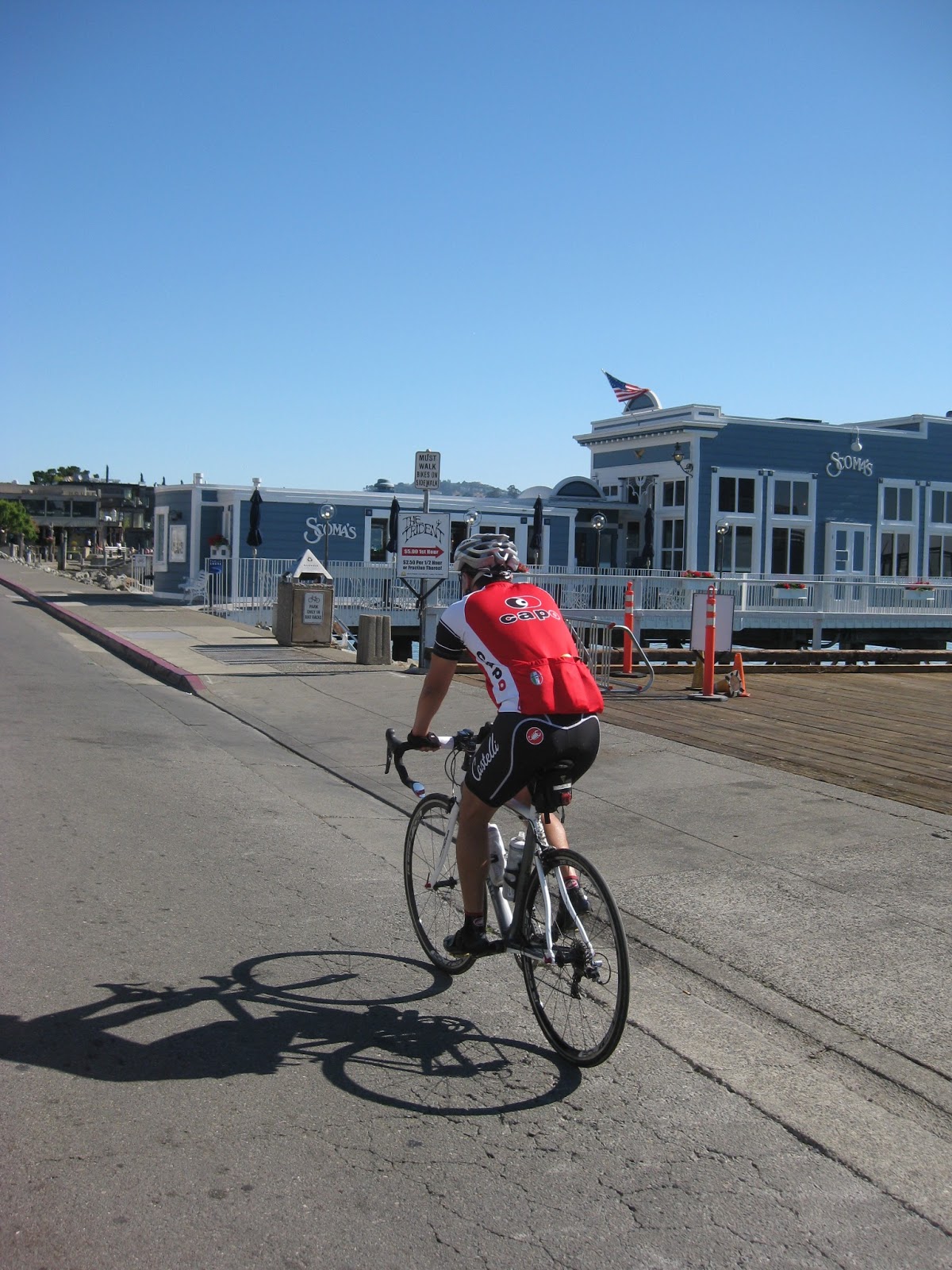
Cruising along Bridgeway in Sausalito
We continued along Bridgeway and then got onto the Mill Valley-Sausalito Path. And here's where the real fun begins. We then made a left on
Sycamore. From Sycamore we ride towards Mill Valley. From Mill Valley we start our first climb. Following directions tape to my handle bars we had a few hiccups. Especially with sign likes these. We decided to follow other riders headed the same direction, which was the way we wanted to go.
Henry leading the charge up to four corners.
Taking a break at Four Corners,
where Muir Woods Road, Panoramic Highway, and Sequoia Valley Road meet.
We go right on Panoramic Highway and continue toward Mt. Tamalpais.
Head down or mouth open, doesn't matter as long as you get to the top.
This is the last place that we stopped for water before we get to Fairfax. The weather was well into the 90's according to our Garmin the weather got into the 100's. We stopped here for water, restroom, and fuel up. Never being out this way, no one had any idea of how far Fairfax would be or how much climbing would be involved, but we continued on.
We hit Pan Toll Road and go right into Mount Tamalpais State Park
With the heat beating down and hunger starting to creep up, I started to get a little worried, because no one knew exactly how long it would take us. We used our phones to try and see how much further we had to go and got the normal response of
"damn, we're hella far away"
Staying out of the sun
We finally reached Bolinas/Fairfax Road, which was the road to the Alpine Dam. It was mostly rolling hills and downhill from at this point until we reached the dam. We got to the dam and stopped in the middle, got off our bikes and enjoyed the views. I do regret not taking a group picture here, but I guess that means we'll just have to do it again.


Now here's when I really start to get worried. By now it was around 1 or 2 o'clock and no one has eaten anything solid besides the gels, bars, and chews we brought with us. Our water was running low faster than normal because it was extra hot that day. And we still had to climb out of the dam and we didn't know how far we had to go until Fairfax. We started to roll out from the dam and just around the corner more climbing. 2 guys passed me on the way up, and said that it once you get to the top its 4 miles downhill to Fairfax. We found shelter under a tree to stay out of the sun at the top, by then everyone's water was nearly depleted. Once everyone got there, I felt a little better, but i knew we needed to get food fast! We got into town and hit up Fat Angel Bakery.
I ate a ham sandwich, scone, and a coke for $12.
After resting and eating, we started our return to SF. Fairfax to Sausalito was our first stop. Some of us had decided to take the ferry back from Sausalito. Some were up in the air, so we would make the decision when it came time. The ride back was pretty flat, which was good after all the climbing we had done. We opted to go around Camino Alto and take the Meadowsweet Drive shortcut, which had a little hill, but their was still the final climb back to the bridge. Finally we reached the Mill Valley-Sausalito Path and home was just across the bridge.
Rides like these don't happen too often because everyone so busy with work, family, etc. I'm just glad that I was able to get something together. Hopefully we'll have more rides like this in the future.
This ride mapped 64 miles with 5674 feet and took us 10 hours.
Everybody's body after the ride, maybe?
LOL!
The Rides
Cannondale SuperSix
Wilier Cento1
Trek Madone
Motobecane Le Champion
Trek Domane
Cannondale SuperSix